NAAC Re-accredited with grade
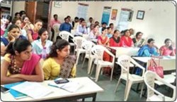
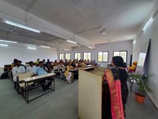
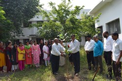
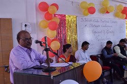
The chair stands as a prominent center for training and capacity building within the Marathwada region. It has actively engaged in outreach programs conducted by the Indian Institute of Remote Sensing (IIRS), Dehradun, achieving broad publicity and significant participation. The training programs offered encompass workshops and competitions, attracting students from diverse academic backgrounds including engineering, science, and arts, as well as research scholars and teachers. These programs are thoughtfully designed to address specific local needs.
| Theme | Workshop/ Programme | Date | Beneficiaries |
|---|---|---|---|
| Integrating Geo-Spatial Technology with E-Governance of an Indian District | One Day Workshop | 19th Jan 2013 | 130 |
| Geospatial Technology for Local Governance” on occasion of science day | Concept Paper Competition | 28th Feb 2013 | 5 |
| Microwave Remote Sensing* | Three Days Workshop | 22rd Jan 2014 | 101 |
| Emerging Trends in Geospatial Technology for Smart City | Two Days Workshop | 19 Sept 2014 | 132 |
| Basics of Remote Sensing, GIS and Global Navigation Satellite System | 11th Outreach Satellite Distance Learning Program | 4th Nov 2013 | 106 |
| Microwave RS for Natural Resources | 12th Outreach Satellite Distance Learning Program | 3rd Feb 2014 to 29th March 2014 | 102 |
| Basics of Remote Sensing, GIS and Global Navigation Satellite System | 13th Outreach Satellite Distance Learning Program | 4th Aug to 14th Nov 2014 | 62 |
| Applications of Remote Sensing & GIS for Natural Resources | 14th Outreach Satellite Distance Learning Program | 27th Jan to 28th March 2015 | 64 |
| Basics of Remote Sensing, GIS and Global Navigation Satellite System | 15th Outreach Satellite Distance Learning Program | 10th Aug to 27th Nov 2015 | 58 |
Apart from the chair, many students from the Department of CS & IT have carried out work related to agriculture, land use land cover, vegetation, and water by using RS and GIS. The following table shows the total number of students working under geospatial technology.